
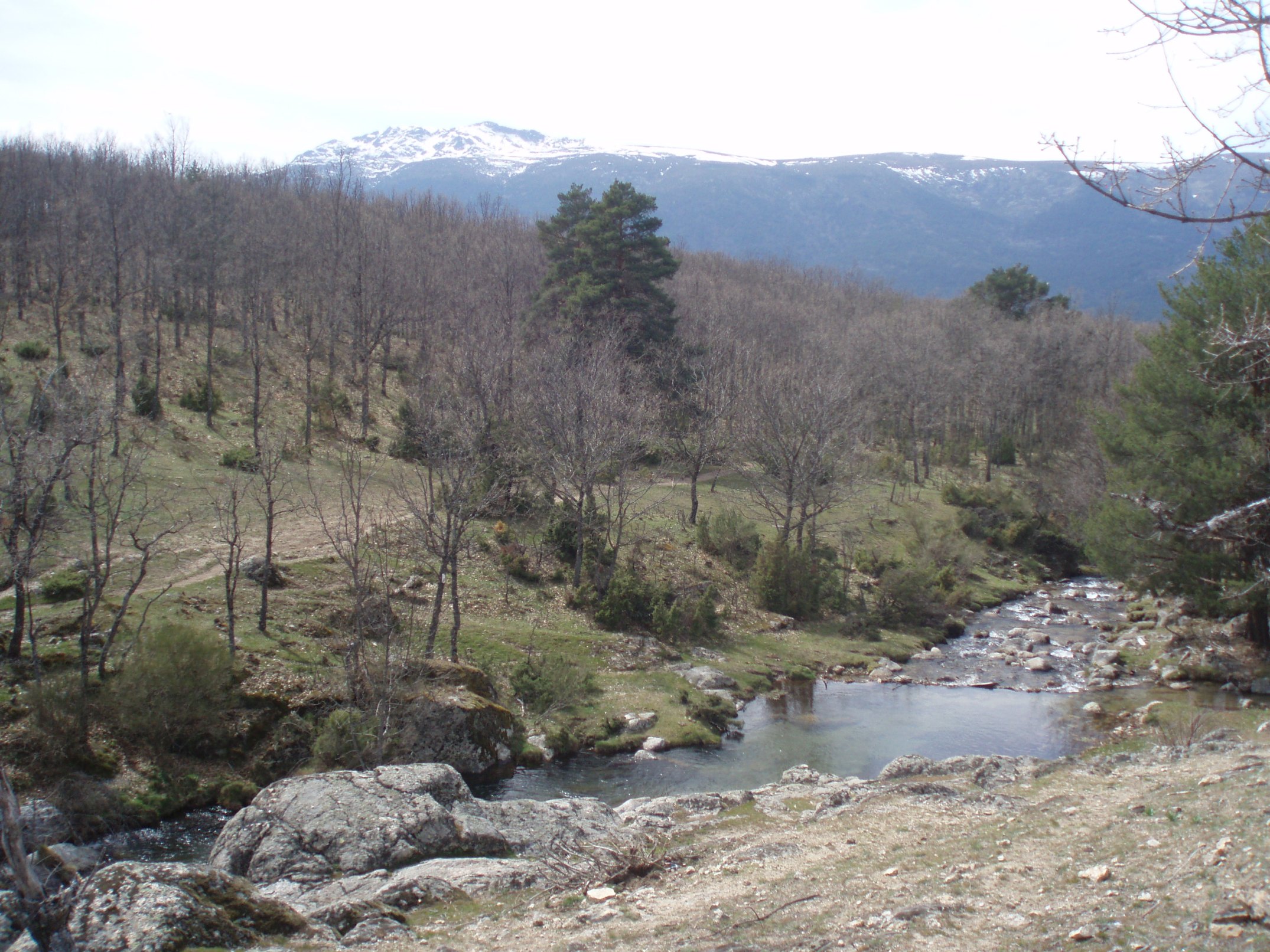
Peñalara Peak (2,428 m) is the highest summit in the Community of Madrid and the valley’s great high-mountain attraction. The official route from Cotos requires a good level of fitness, suitable equipment and full respect for the National Park rules.
Key facts
- Difficulty: demanding (advanced)
- Distance: 10.2 km there and back
- Elevation gain: approx. +610 m
- Approximate time: about 3 h 50 min
- Type: linear · high mountain · official PNSG route
Starting point
Puerto de Cotos (Peñalara visitor centre).
The route
The ascent combines stretches of path with more open, rocky ground towards the ridge and the summit. The views take in the El Paular Valley, the glacial cirque and, on clear days, much of the Sierra de Guadarrama. The descent is normally by the same route.
In winter and early spring the route may require crampons, an ice axe and experience on snow. Check the mountain weather forecast and do not go up in a storm or poor visibility.
National Park rules
Access to the Peñalara Massif is regulated by quotas and group limits. Find out more and book if necessary on the Park’s website. Stay on the path, protect the alpine flora and avoid going alone if you are inexperienced.
Official route
PNSG-032 Pico Peñalara (in Spanish).
Gallery



Comment (0)