
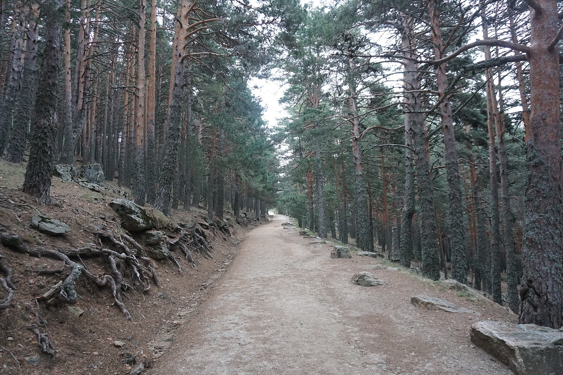
An official circular route of the National Park (RV9) through the pine forests at the head of the El Paular Valley, between Cotos and the Arroyo de la Angostura via “las Vueltas”. It is a demanding and less crowded alternative to climbing Peñalara summit.
Key facts
- Difficulty: demanding / advanced
- Distance: approx. 9.4–9.5 km
- Approximate time: about 3 h 15 min
- Type: circular · official PNSG route
Starting point
Puerto de Cotos.
The route
The route links Cotos with the area around the Arroyo de la Angostura stream via the zigzags known as “las Vueltas”, through high-altitude pine forest and open mountain terrain. It is a full mountain day: take a map or track, water, food and warm clothing, even if the day starts sunny.
Snow or ice makes it harder; consider your own condition and the state of the ground.
National Park rules
Check the quotas and regulations for the Peñalara Massif / National Park before setting off. Do not leave the waymarked paths and keep your impact low: keep noise down, no fires, and take your litter home.
Official route
PNSG-031 Cotos – Arroyo de la Angostura por las Vueltas (in Spanish).
Gallery


Comment (0)